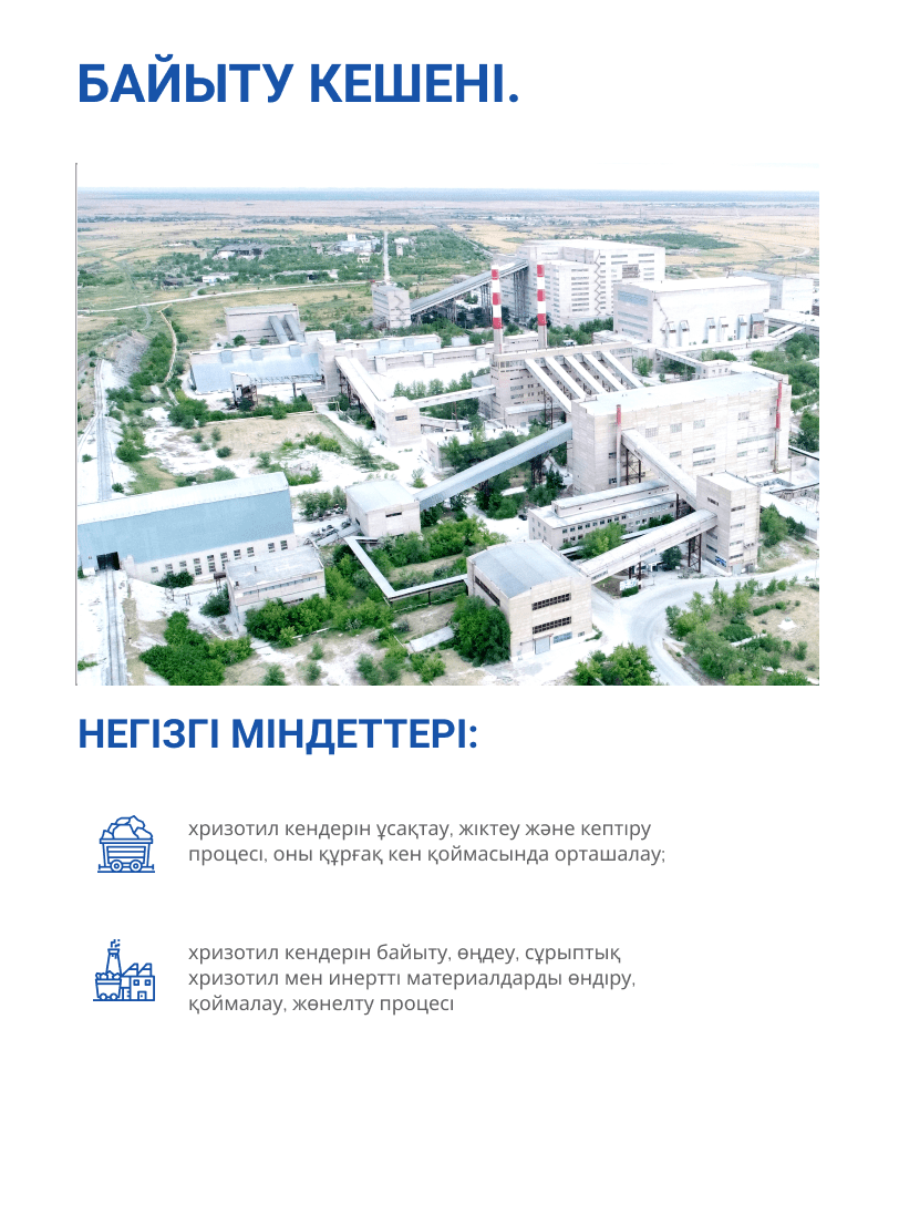
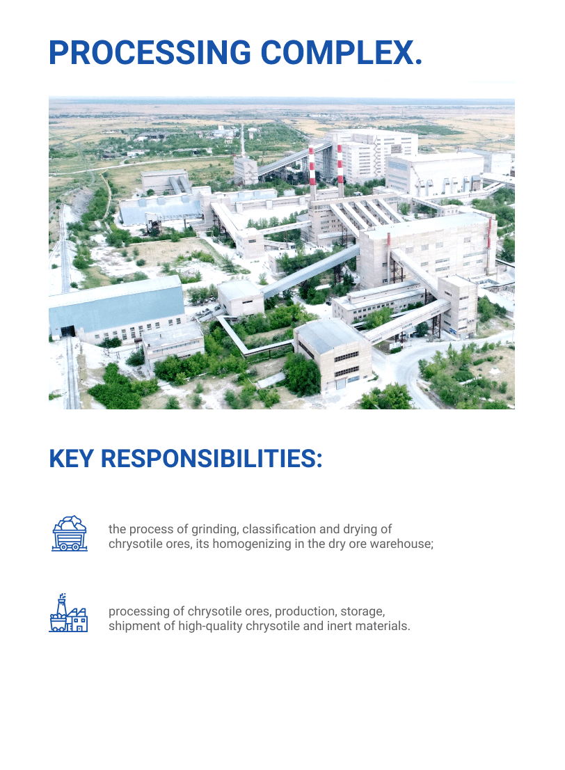
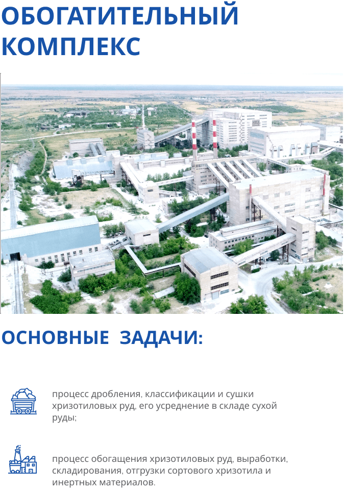
On their own, the “KAEM” employees created an information 3D model of all buildings and structures of the industrial site of the Enterprise, using modern BIM technologies. A 3D model is a kind of master plan, which now not only visually conveys an image of the entire industrial zone “KM”, but also contains capacious information with all coordinates for a particular object. Actual dimensions, position, when repairs were carried out, by whom and other characteristics will be displayed in 3D GIS. And this information base will be regularly updated and therefore will always be relevant.
The advantage of the 3D model is that it contains data not only about what is available in the industrial area on the surface of the earth, but also under it. In simple words, all engineering communications (cables, pipes, wells, etc.) that run along the perimeter of the industrial zone, now, relatively speaking, will be at a glance. This, according to the project participants, will allow for more efficient planning and execution of this or that work at the facility.
When the question of the need to create such a model was raised at the Enterprise, then specialists began to study the economic component of the project. We analyzed the prices and found out that the creation of a 3D model by a third-party organization will cost the company 20 million tenge. By the way, the name of the project “Optimization of costs for the creation of an information 3D model of buildings and structures of the industrial site of the Enterprise” sounds just so not by chance. The managers of KM JSC implemented this project on their own, while receiving cost savings of 16 million tenge.
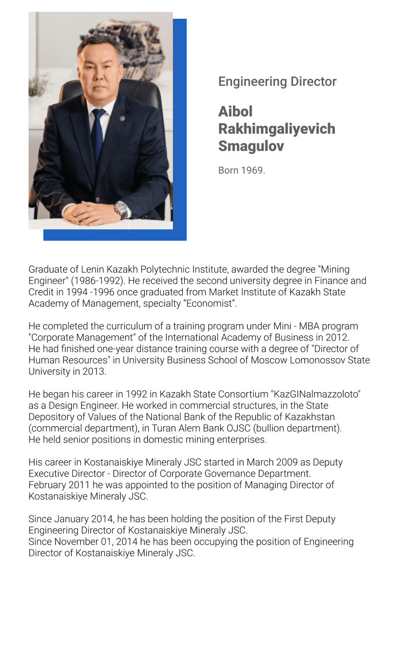
The work was carried out in the K-MINE “Infrastructure” software module. The project manager was the head of the technical department of the Enterprise Miroslav Sonchik, his department became a direct participant, who was involved in the implementation of the project.
Also, the mine surveying department took part in the work, producing aerial photography of the industrial zone using a drone, namely, the surveyor Yulia Yarysh. This work was carried out under the leadership of Aigul Sultanbekova, head of the mine surveyor department. The creation of the model itself, with all its details, was carried out by the specialists of the technical department – engineers Nikolai Mulyara and Olzhas Bilisbaev. The preparation of engineering documentation is now entrusted to the employees of the construction and design department, for which Almat Doszhanov is responsible.
-The resulting GIS will allow you to quickly manage any changes at infrastructure facilities. Qualitatively plan and install current, operating and capital costs for all objects, taking into account the performance of previous work. In addition, the creation of a unified database will provide transparency and will make it easy to confirm the fact of completion and the quality of work with a photo report with any semantic information for any period, – says the project manager who oversees the work from start to finish, Miroslav Sonchik.
M. Birtaeva.
Chrysotile KM newspaper
